GPX routes for Little River Canyon and Lookout Mountain
Twenty-three tracks Giorgio actually rides: canyon rim pavement, WMA dirt with creek crossings, a 580-mile three-day ADV loop, and four e-bike loops that start at the gate.
Free to ride
Routes from the people who live here
These files are public domain. Download a track, load it on your GPS or phone app, and follow the line — no guide, no fee, no group to keep up with.
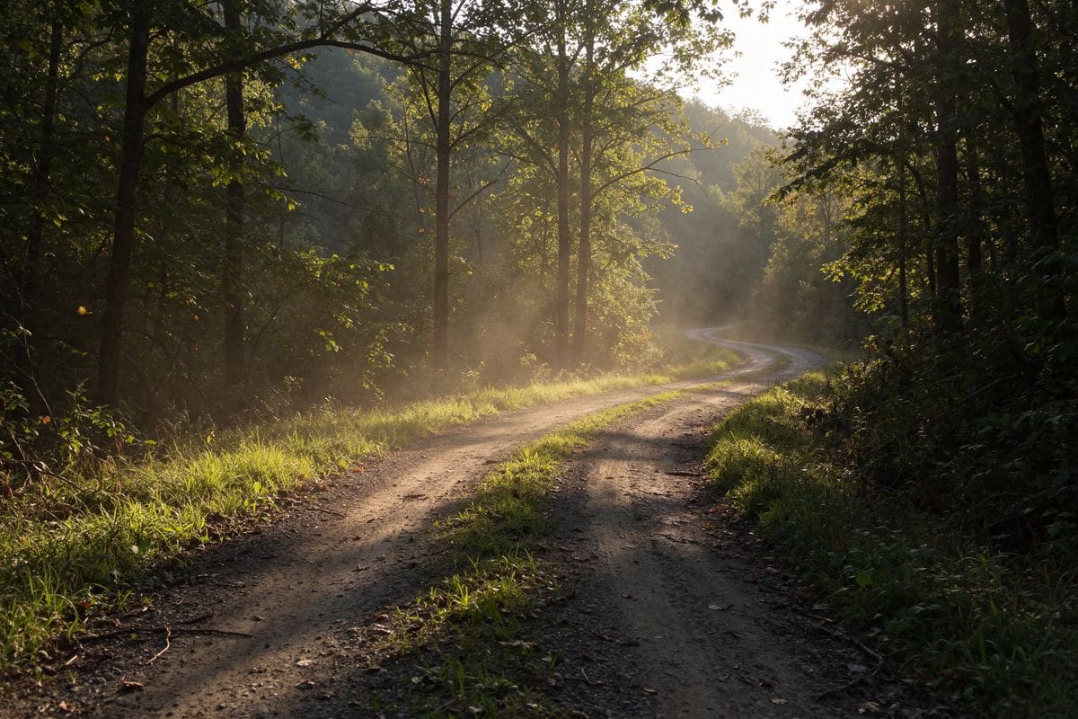
Some start at the gate of the camp, some at the WMA trailhead a mile up the road. Each description tells you the surface, the distance and what to watch for, because a 34-mile dirt loop with rain ruts is not the same ride as a 38-mile paved rim road.
Ride one, then send us your own track and a few notes. The library grows because riders add to it.
How to use a GPX file
- Ask us for the file by email and we will send the current track.
- Open it in gpx.studio to preview the route before you ride it.
- Load it onto your GPS unit or phone app and follow the line.
- Check the weather and the river level before any WMA loop — creek crossings rise fast.
Paved loops
6 routesCanyon Rim Loop 01
The full canyon rim from Little River Falls Park to Canyon Mouth Park. Start a mile from camp and ride the whole rim in an afternoon.
Get routeTwo Brows Northern Loop 01
Both brows of Lookout Mountain, out through DeSoto State Park and back. The long-view loop.
Get routeMountain Top Easy Short Loop 01
All paved, stays on top of Lookout Mountain, and never drops into traffic. Use caution crossing AL-Hwy 35.
Get routeSE Paved Loop
Follows the Chattooga River out of the mountain and back. Quiet pavement, river on one side.
Get routeFilming Loop
The long paved day: 81 miles of the roads that show up in every photograph of this corner of Alabama.
Get routeNE Paved Loop
Cruise Lookout Mountain to the northeast and back — a full-day ride for a full tank and a good seat.
Get routeUnpaved WMA loops
2 routesWMA Trails 5, 7, 8 & 9 North Loop 01
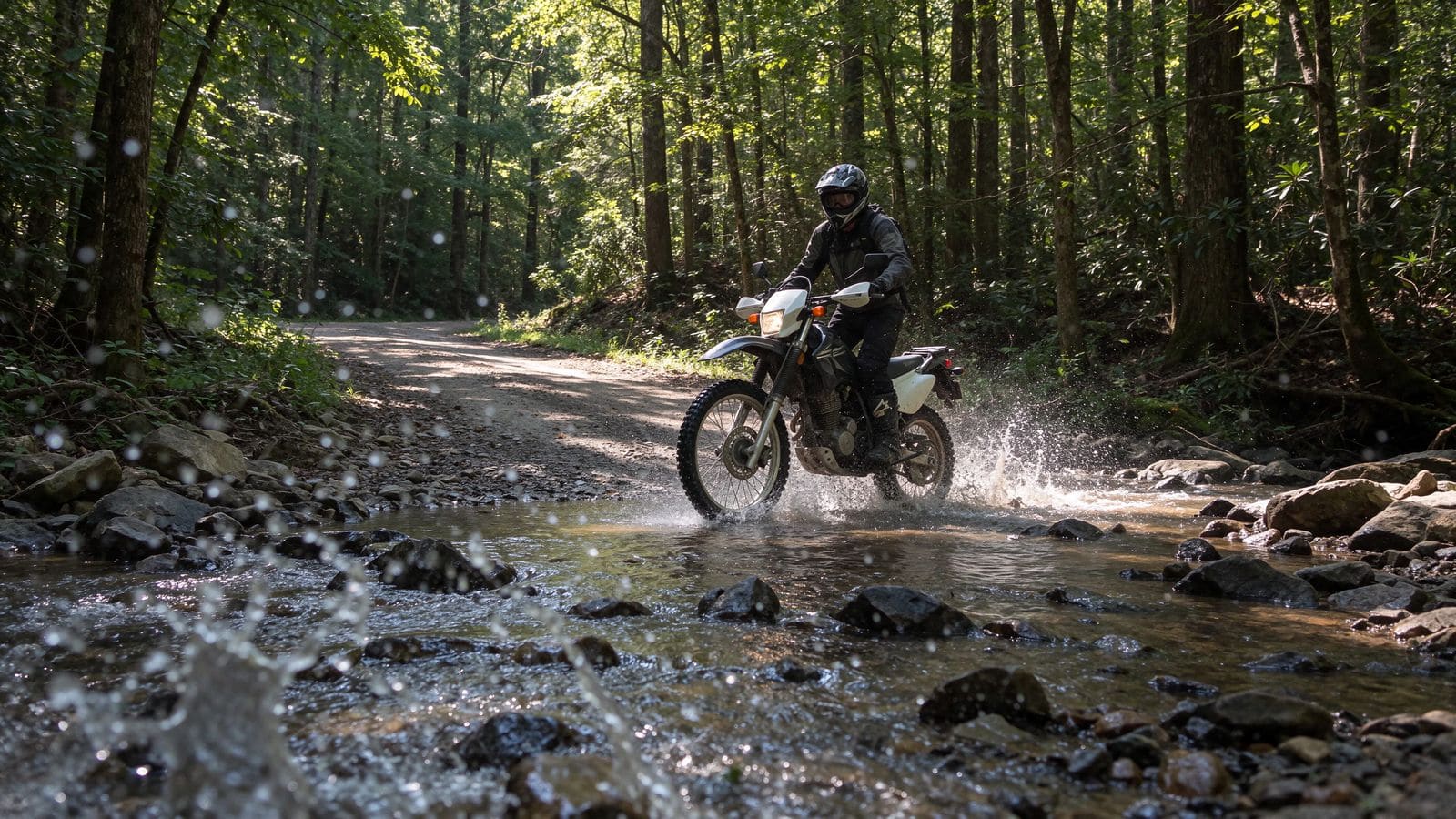
Dirt starts one mile from camp. Creek crossings and swimming holes, good on a dual-sport or a mountain bike; larger ADV bikes can handle Trails 5 and 8.
Get routeWMA Trails 1, 2, 3, 4, 11 & Co Rd 861 South Loop
Slant Rock, Park Rock and more creek crossings. Trail 3 has deep rain ruts and mud holes — ride it with a partner.
Get routeLong distance & ADV
9 routes2022 Bama ADV 600
Fort Payne to Oxford to Tuscaloosa and back. The big one — camp here the night before and the night after.
Get routelrac2toad
Little River to Tellico Overland Adventure Destination. The connector riders use to link the two camps.
Get routetoad2lrac
The long way home from Tellico to Little River. Plan a full day and a fuel stop.
Get routeBerry Reservoir
Out to the reservoir on the back roads, with the option to slab home if the light goes.
Get routeSulfur Springs Loop
A 71-mile loop through the springs country, mostly pavement with dirt options.
Get routeSilverhill Loop
The 72-mile version for riders who want a full day in the saddle without a highway.
Get routeE-bike loops
4 routeseBike Loop B
Ten and a half miles to a canyon overlook and back. The best views per mile of the four.
Get routeRide from camp
Every route starts at a campsite
The reason the routes are free is that the riding is the point. Book a site, park the truck, and leave the truck parked — most of these loops begin within a mile of the gate.